Plan Drawing
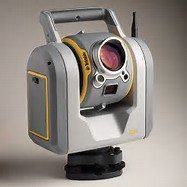
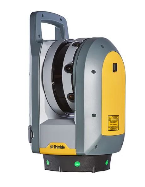
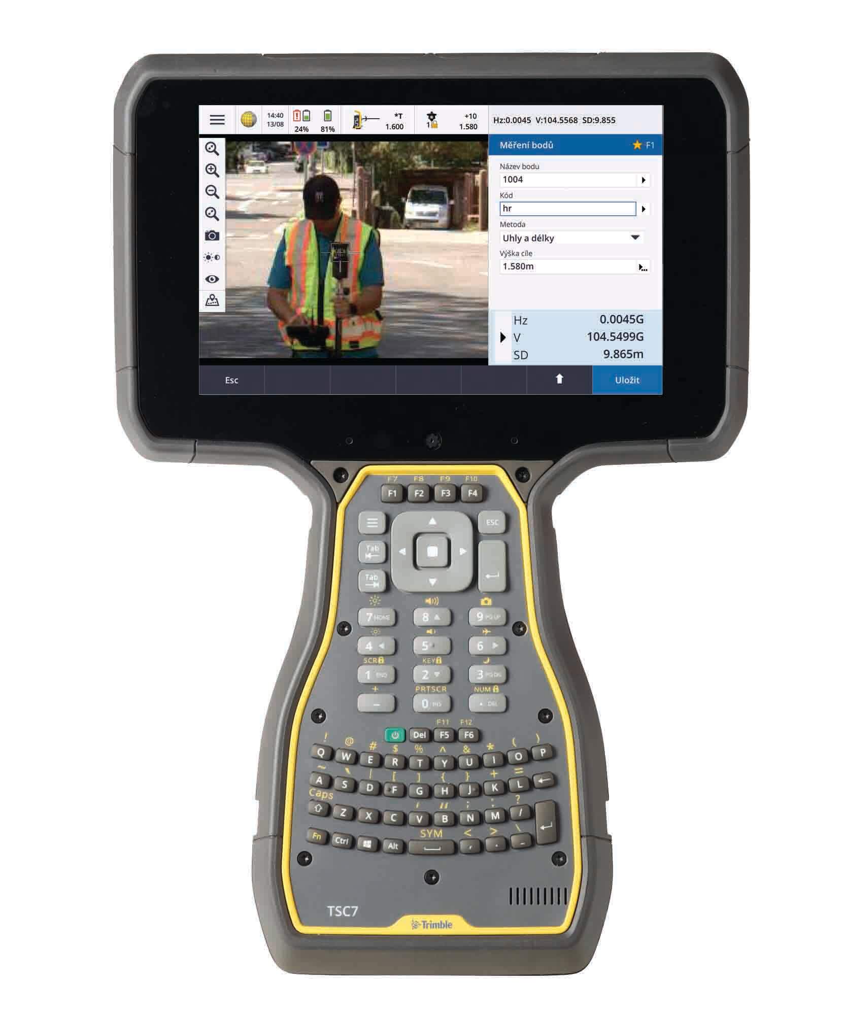
Here at Collision Forensics Ltd we use the very latest Trimble surveying technology to ensure our customers are provided with the most accurate and up to date technology available. We use the very latest Trimble SX10 utilising its combined High definition 3D laser scanner and 1″ Robotic Total Station, and X7 laser scanner and X10 tablet to survey scenes. We also have available to use the very latest Trimble R10 GNSS GPS survey rover running a VRS Now correction service which can be used integrated with the SX10 or as stand alone equipment recording data to the powerful TSC 7 data logger. We are able to process the aquired data in Trimble Business Centre and Trimble Forensics Reveal software supplied by Trimble, and use Geosite 5.1 software supplied by Korec Ltd to produce simple to understand 2D plans.
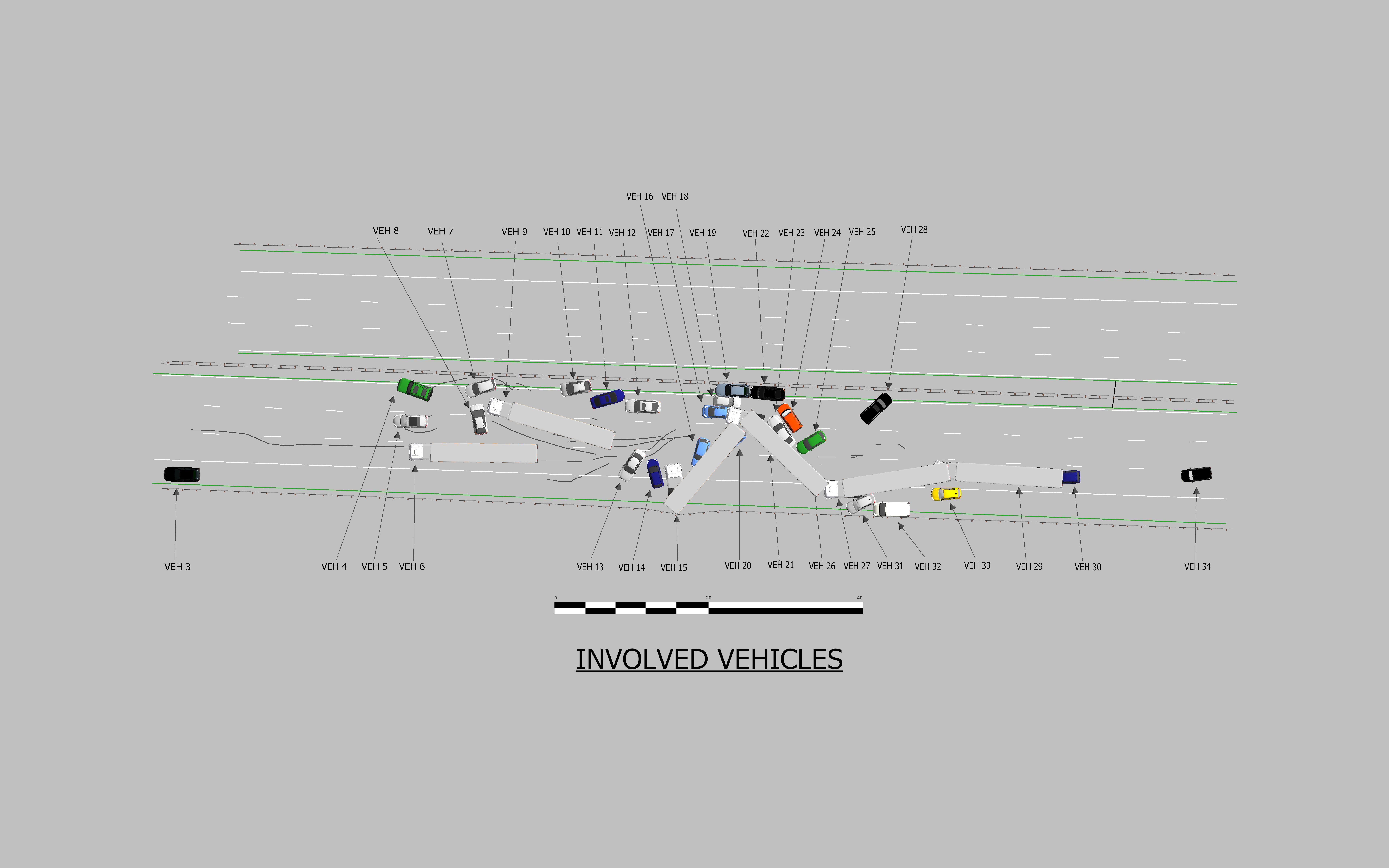
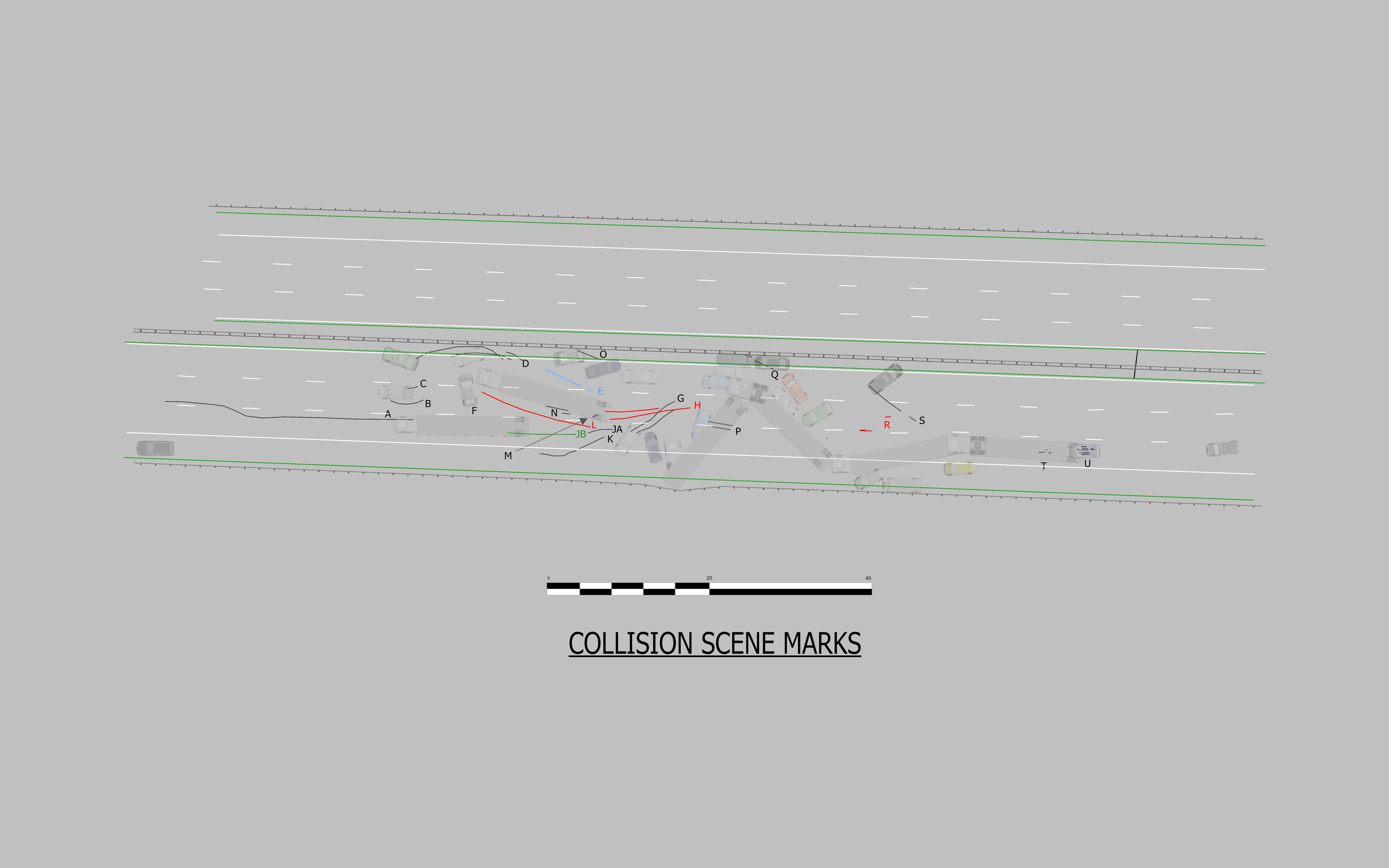
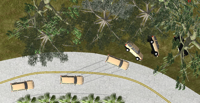
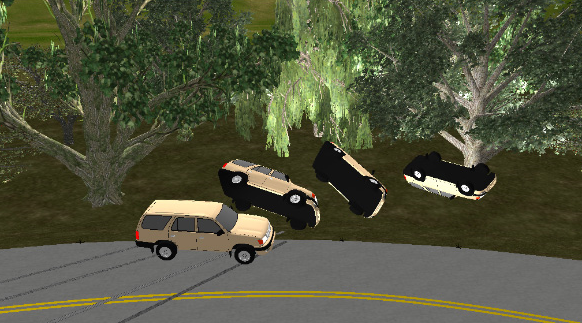
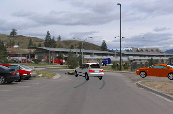
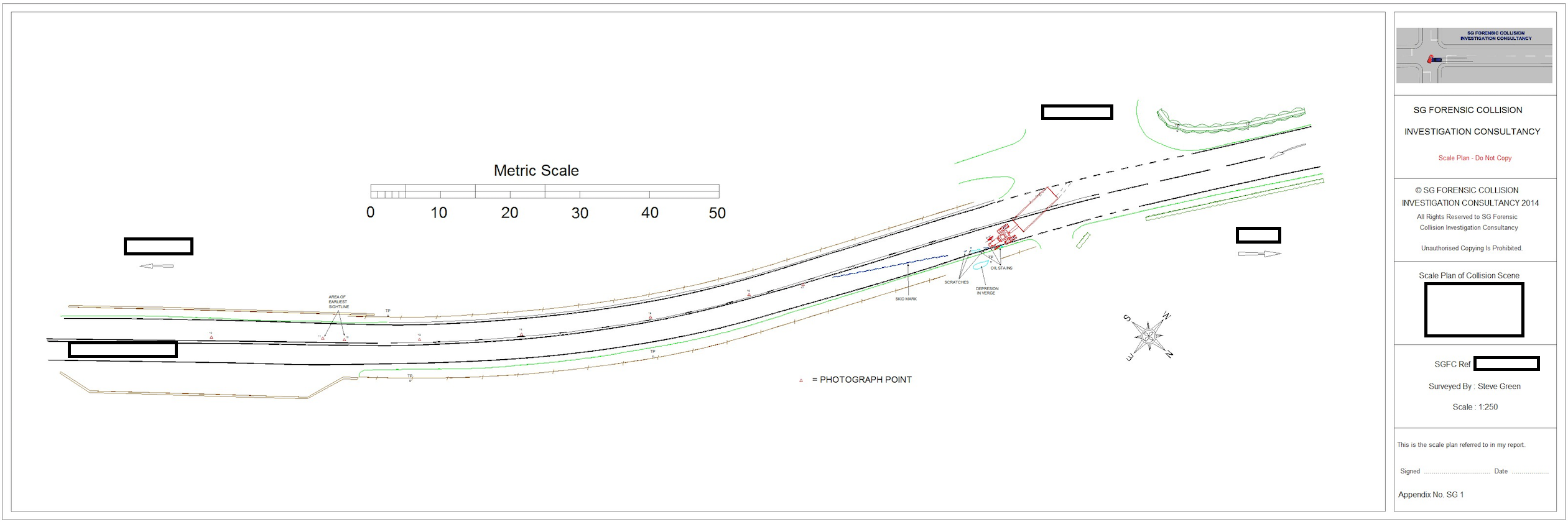
The data acquired by these highly accurate instruments can then be processed in the appropriate software above to produce detailed scale plans, produce 3D animated reconstructions, carry out detailed and accurate momentum analysis and much more. We are also able to accept data sets recovered by the police and use the data in our software suites to fully analyse any collision and provide our clients with the best evidence possible. Below is an anonymised plan produced by Geosite 5.1 software.
Trimble Forensic Reveal software can be use to produce both 2D and 3D Plans and animations or even to be able to introduce 3D objects into your scene photographs. There is much more that the software can help you with. Follow this link to see more http://www.forensics.trimble.com/reveal
Below is a plan prepared with this software for a multiple collision on the M5 Motorway which was prepared for one of our clients to help understand the collision circumstances.